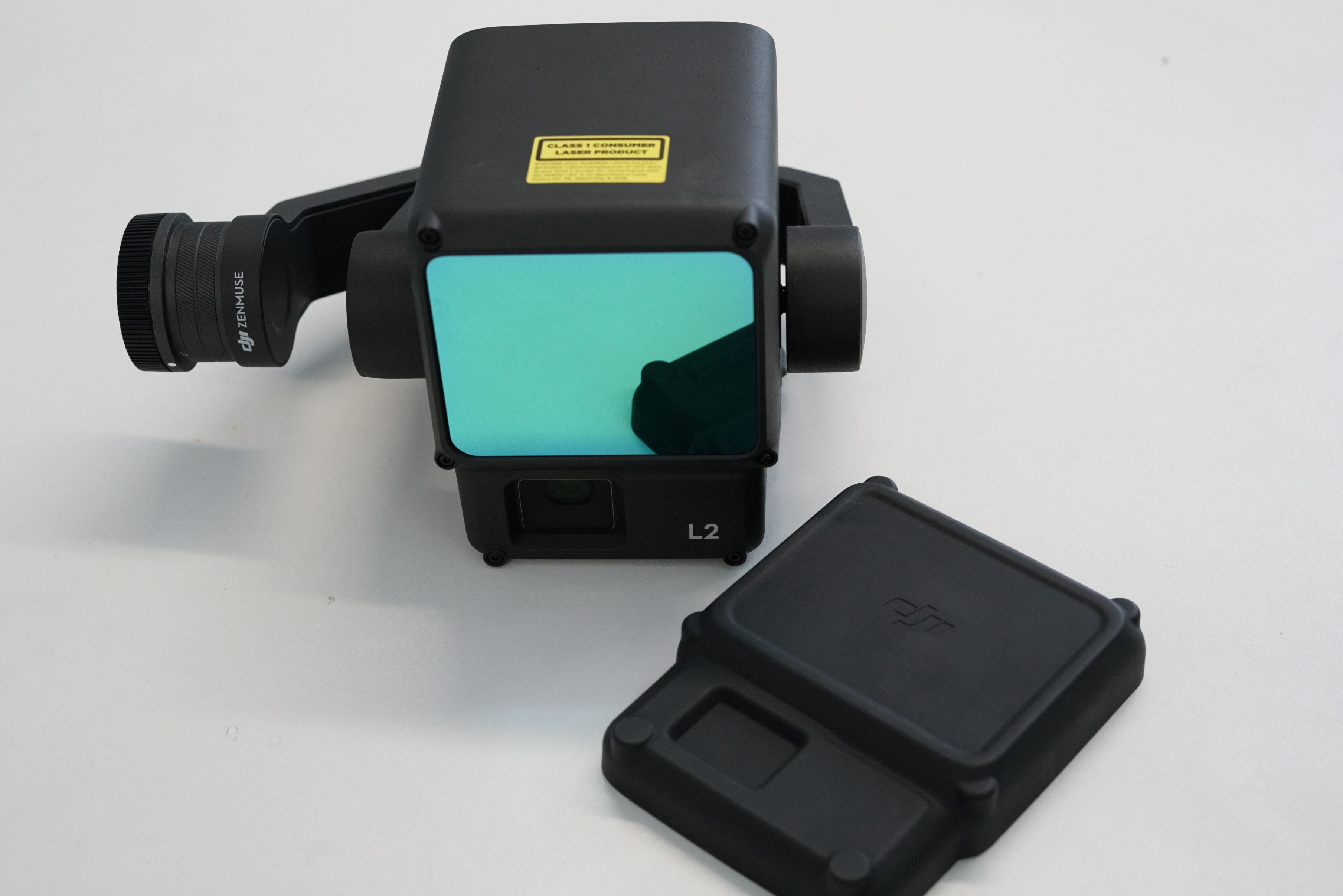
DJI Zenmuse L2
Overview
The DJI Zenmuse L2 (LiDAR) provides precise, efficient and reliable geospatial data. It has a high accuracy IMU and an RGB camera, giving high level precision scans of complex landscapes and objects with an extended range and fast point cloud acquisition. The L2 can capture ground points beneath foliage, reaching a maximum of 240,000 point cloud emissions per second, providing visibly clearer details during dense vegetation mapping.
The DJI Zenmuse L2 can be flown on our DJI M350
Technical Specification
| Value | |
|---|---|
| Weight | 905 g |
| Operating Temperature | -20℃ to +50℃ |
| Dimensions | 155x128x176 mm (LxWxH) |
Units Available for Loan
| Model and Serial Number | Documents and Software |
|---|---|
| DJI Zenmuse L2 | Manual |