News


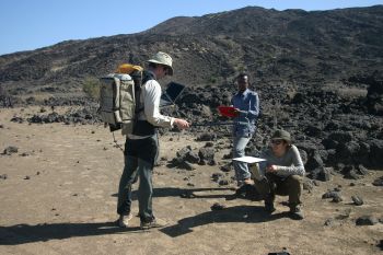
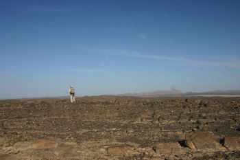
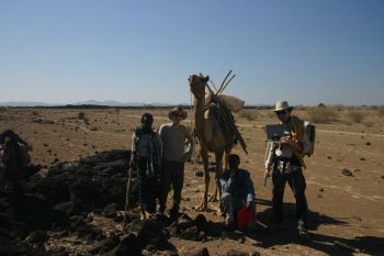
Photographs courtesy of Dr C. Oppenheimer.
Field Spectroscopy Facility instruments support the NERC ARSF campaign in Ethiopia
FSF supplied a Microtops II sunphotometer and ASD FieldSpec Pro spectroradiometer in support of the January 2008 NERC ARSF campaign in Ethiopia. The NERC Afar Consortium project is examining the magnetism and tectonics associated with plate rupture in the Afar region of Ethiopia. The use of remote sensing techniques, involving both airborne and satellite imagery and lidar terrain data, aims to determine local scale geological and geomorphological characteristics of erupted materials and examine their relationships to faulting and fracturing. Dr Clive Oppenheimer and Talfan Barnie, from the University of Cambridge, collected spectral data from a range of lava types to aid in the analysis of airborne and satellite images.
In a second project, Dr Charles Bates from the University of St Andrews, and Dr Harry Toland from Aberystwyth University examined the late Pleistocene dessication of Lake Tana, the source of the Blue Nile. Little is currently known about the Lake's late Quaternary history, but recent cores from the deepest areas suggest that the lake dried out around 17,000 cal BP, at around the same time as the dessication of Lake Victoria. To better understand the information from the sediment cores, more knowledge on the geological setting of the lake is critical. Given the basin size, this is best obtained by airborne and satellite mapping. The ASD spectroradiometer measurements were made in support of successful ARSF flights of the area, allowing both the calibration of the airborne hyperspectral data and the characterisation of the spectral properties of a range of soil and rock types. Work will now begin on the classification of the hyperspectral images and spaceborne ASTER data to provide a revised regional geological map of the Lake Tana area.


